Industry · Canopy · fuel · terrain
Forestry
Map and understand canopy structure, ladder fuels, diameter-at-breast-height, first-branch taper, all while still mapping the detailed surface underneath.
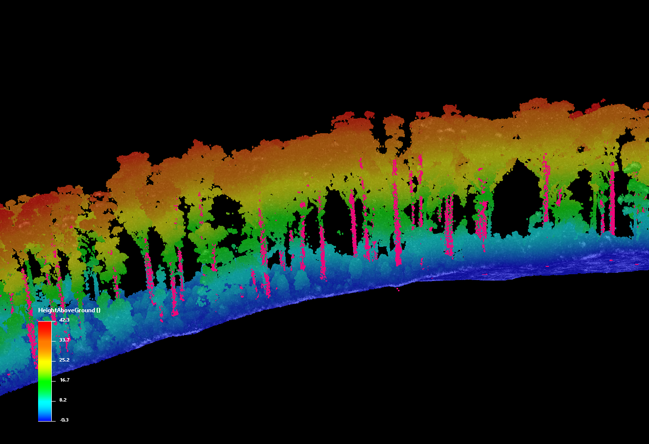
Map and understand canopy structure, ladder fuels, diameter-at-breast-height, first-branch taper, all while still mapping the detailed surface underneath.
Forest and fire managers need accurate canopy and terrain data over enormous areas. Single-look lidar leaves voids under dense canopy, and low-altitude collection makes regional coverage slow and expensive.
Wide-area, high-density data that penetrates foliage to recover both canopy structure and bare-earth terrain — refreshed often enough to be useful for planning.
Multi-angle agile scanning fills the gaps a nadir look misses, recovering ground returns beneath dense vegetation.
Acadia separates canopy from terrain, producing clean bare-earth DTMs alongside canopy-height models.
High-density structure data across whole forests feeds fuel-load and fire-behavior models.
A flexible, high-resolution system for collections between 5,000 to 16,000 ft.
Book a call to scope your project, or request representative point clouds for review.