Technology / Geiger-mode

Maybe you think you know what Geiger-mode lidar is. Maybe you’ve never heard of it.

Most of what the industry has experienced from early Geiger-mode systems fell short. Learn the rest of the story about a technology that’s field-proven in military deployments. Our next generation systems are a completely different animal. Here’s the honest comparison…
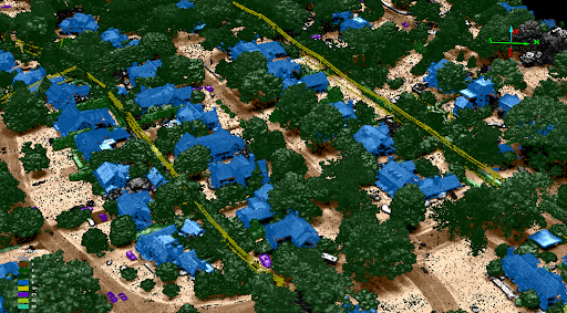
Birmingham power corridor — classified point cloud
System: Wrangell · Altitude AGL: 11,200 ft · Area rate: 280 km² / hr · Density: 80 ppsm
The honest comparison

Linear-mode vs. Geiger-mode.

The difference starts at the level of a single photon — and ripples all the way out to cost.

Conventional / linear-mode
  • ×Requires thousands of photons per return, capping altitude and speed
  • ×Low flying, narrow swaths, repeated overlapping passes
  • ×Expensive to reach useful density over wide areas
  • ×Shadowing under canopy and within urban canyons
3DEO Geiger-mode
  • Detects a return from just a few photons — fly higher, faster, wider
  • High resolution from 27,000+ ft at 30 cm GSD or less
  • Agile scanning captures 4–6 viewpoints in a single pass
  • Mitigated shadows in finished, high-density point clouds

How it works

Conventional linear-mode lidar measures the intensity of a returning laser pulse, which requires thousands of photons to register a confident return. That photon budget forces you to fly low and slow to collect enough signal.

3DEO’s Geiger-mode detectors are single-photon sensitive: each pixel in the array fires when it detects just a few returning photons. Because so little light is needed, the same laser energy can be spread across a much wider area from much higher altitude — while still resolving fine detail.

Individual photon detections include real returns and noise. 3DEO’s processing aggregates millions of detections per second and statistically separates signal from noise, producing a clean, dense, validated point cloud.

Fly higher

Operate from 30,000+ feet — clear terrain and airspace, and image a wide strip in a single line.

Fly faster

Cover thousands of square kilometers per day; less flight time means lower cost per area.

Keep the detail

Roughly 1-foot resolution with ~5 cm typical vertical precision, even from altitude.

Density on demand

30–100+ points per square meter where the application calls for it.

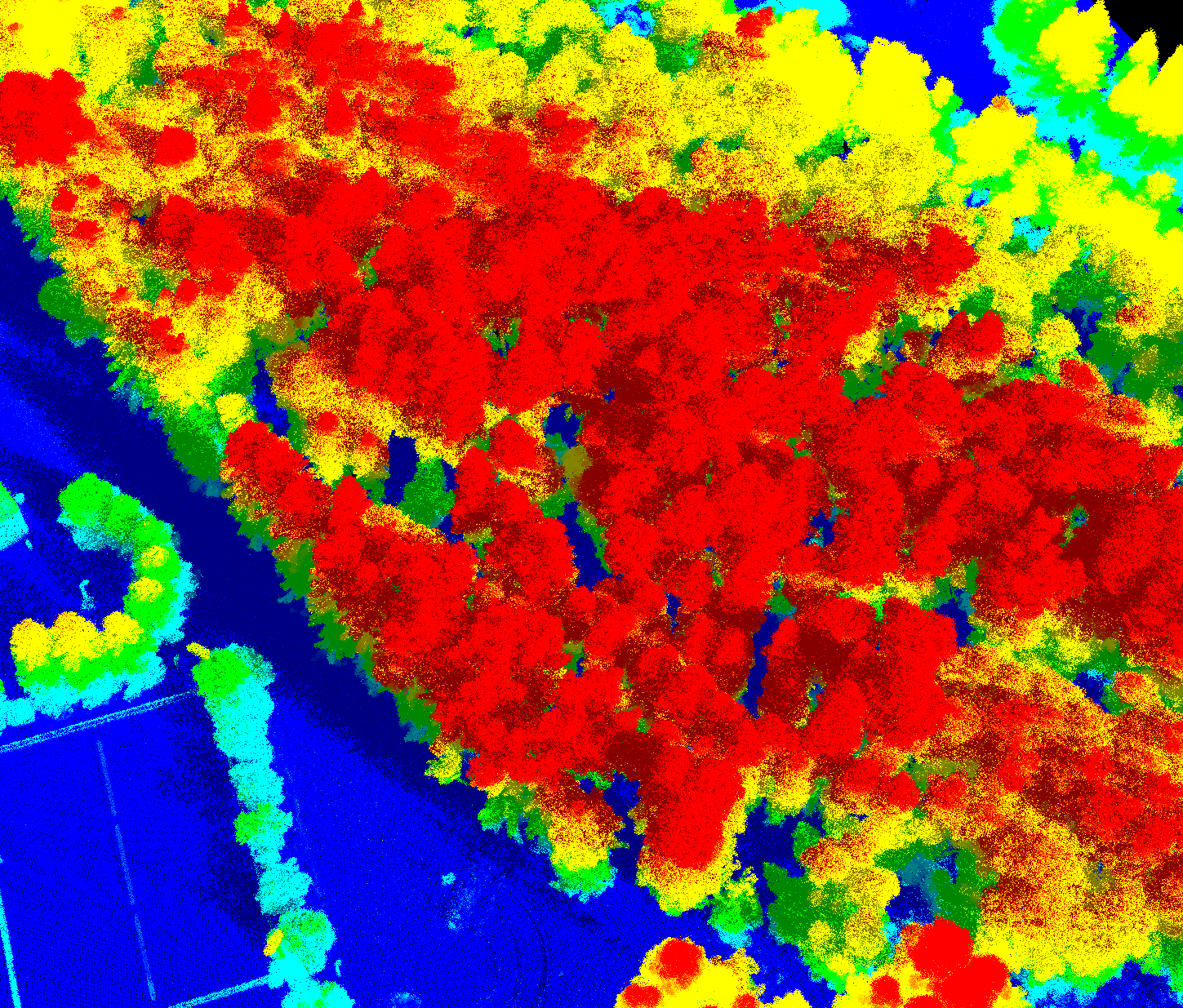
Digital defoliation point cloud
System: Zion · Altitude AGL: 4,000 ft · Area rate: 5 km² / hr · Density: 350 ppsm
Why it matters

More accurate data, faster — for less.

If you care about the accuracy of your data, the speed of collection, or doing something impactful with it afterward, the economics favor Geiger-mode decisively.

Go deeper

The technical record.

We publish our work. These papers cover resolution, precision, and real-world performance of Geiger-mode systems.

Want to see what Geiger-mode looks like on your terrain?

Book a call to talk through your environment, or request representative point clouds for review.