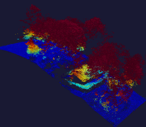
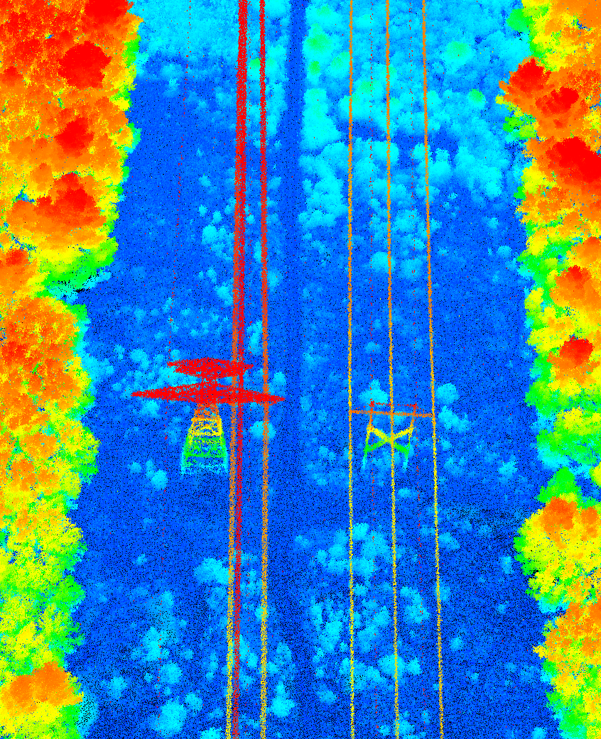
SEQUOIA · 38.937°N 92.318°W
ALT 27,000 FT · GSD 30 CM
COLORED BY ELEVATION
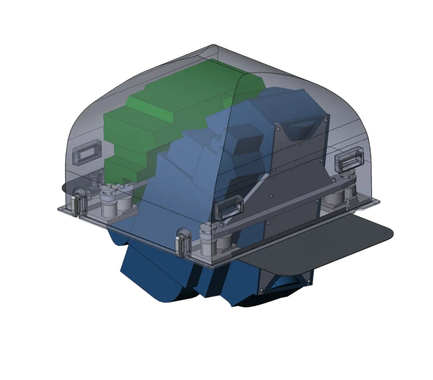
Geiger-mode lidar · MIT Lincoln Lab heritage

The most capable|
lidar solutions available.

Efficient single-photon sensitivity, high data recording rates, and agile geo-referenced scanning — map faster, at higher resolution, in more detail, all from a single configurable lidar instrument.

10–30Mdenoised points / sec
Up to 50,000 ftCollection altitude
Up to 900 km²Mapped per hour
LOW · 0 m50 m · HIGH

We are the trusted advisors of the geospatial industry — guiding partners across every stage of data collection, in every industry, even when they don't yet know what they need.

An MIT Lincoln Laboratory spin-out founded in 2014, headquartered in Norwood, Massachusetts. We design, build, fly, and process airborne Geiger-mode lidar for government and commercial clients worldwide.

About 3DEO
The misconception

Maybe you think you know what Geiger-mode lidar is.
Maybe you've never heard of it.

Most of what the industry has experienced from early Geiger-mode systems fell short. Learn the rest of the story about a technology that's field-proven in military deployments. Our next generation systems are a completely different animal. Here's the honest comparison…

Conventional / linear-mode
  • Needs thousands of photons per return — limiting altitude and speed
  • Low flying, narrow swaths, repeated passes
  • Expensive to cover wide areas at useful density
  • Shadows under canopy and in urban canyons
3DEO Geiger-mode
  • Detects an object from just a few photons — fly higher, faster, wider
  • High resolution from 27,000+ ft at 30 cm GSD or less
  • Agile geo-referenced scanning captures 4–6 viewpoints in a single pass
  • Mitigated shadows in finished, high-density point clouds
Consulting → Equipment → Collection → Processing → Answers

We help at every stage
of the collection process.

Most providers sell you a box. We meet you wherever you are — and take you all the way to actionable answers. Tell us your stage and we'll point to the best next step.

  1. 01

    Consulting

    Scope constraints, timelines, and success criteria with people who've solved it before.

  2. 02

    Equipment

    Purpose-built Geiger-mode systems matched to your environment and altitude.

  3. 03

    Collection

    Acquire high-density data where it matters — wide-area, high-altitude, fast.

  4. 04

    Processing

    Acadia turns raw single-photon returns into finished, validated point clouds.

  5. 05

    Answers

    Actionable insights and deliverables in the formats your decision-makers need.

Lidar systems

One technology, three altitudes.
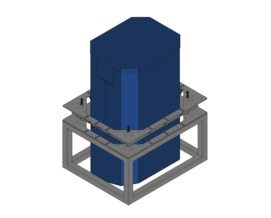
Compare all systems
Acadia surface model
Software suite

Acadia turns raw photons into point clouds with real insights.

3DEO's processing suite converts raw lidar into finished, high-density point clouds with derived metadata — reflectivity, height above ground, and point confidence. Scalable across laptop, cluster, and cloud. Exports to LAS & GeoTIFF.

Explore Acadia
Industries

Wherever accuracy, scale, or speed matter.

All industries
Point clouds

Don't take our word for it. See the data.

Explore real 3DEO point clouds. Preview them here, then unlock the full-resolution interactive viewer after a quick confidentiality agreement.

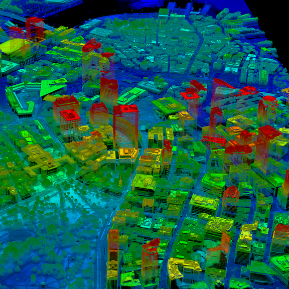
Urban 3D point cloud, colored by elevation
🔒 Agree to view
City Maps
Urban 3D · Acadia
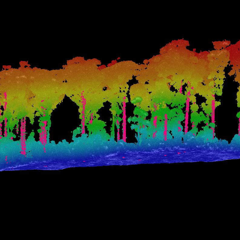
Forest canopy point cloud, colored by height
🔒 Agree to view
Forestry
Canopy · digital defoliation
Transmission corridor point cloud, colored by intensity
🔒 Agree to view
Transmission Lines
ROW · 100+ ppsm
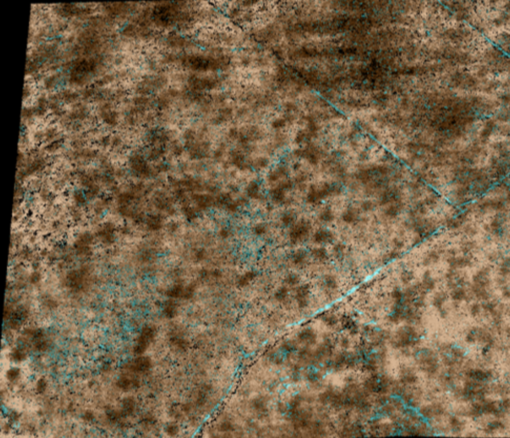
Maya pyramid archeological site
🔒 Agree to view
Archeology
Bare-earth terrain
At 3DEO, we love to help

Tell us which fits you best.

Whatever stage you're in, there's a right next step — and we'll get you exactly what you need.